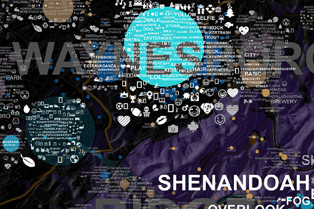
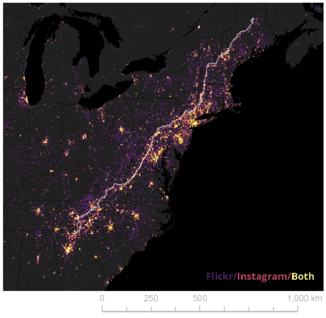
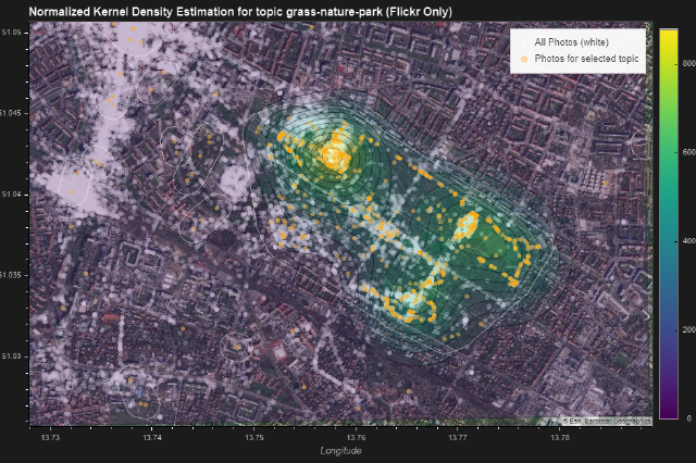
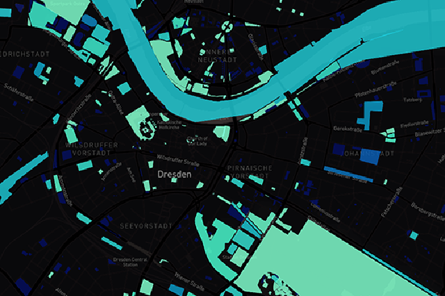
Spatial Discussions for your Community

A Docker-based spatial discourse ecosystem to support community engagement and public participation for landscape and urban planning projects.

About

profile.png

We’re a group of enthusiasts from landscape and urban planning, data science and system engineering, who work on open collaboration and spatial knowledge discovery tools for application to the fields of public planning and citizen science. theplink.org is a staging area for demonstration of our tools such as thePlink-docker, an integrated spatial discourse ecosystem made for self-hosting. The P in thePlink may refer to Planning, Projects, People, or Participation; or Personal & Public Values, Perspectives; or Perception.

Features

  • Entirely build using open source software
  • Ready-made docker containers for self-hosting, local knowledge stays local
  • Spatial Discussions for your community based on the Matrix Specification
  • Progressive Web App with Vue.js Frontend and MapLibre GL JS
  • Privacy-by-Design: Data Abstraction using HyperLogLog
  • Map Interface binds to project area, ability to add sub-projects and additional spatial information
  • Scales easily: based on fastapi and the ideas of dockerswarm.rocks

Sounds interesting? Have a look at our early prototype implementation at gitlab.vgiscience.org or read a summary about it here.


Projects


Latest Post

Apr 11, 2022

Mainstreet 2021: Waynesboro Visualizations

This is a small update on the RCN Mainstreet21 seed fund for Waynesboro, Virginia. Waynesboro, with its unique situation as a former industrial city and now turning to tourism, has provided the base setting for our testing of various information visualization approaches. These visualizations are geared towards supporting local landscape and urban planning strategic development. Our primary dataset was geo-Social Media from Twitter, Flickr and Instagram. While society in general benefits from these statistics, there is also a need to protect individual people’s privacy in collected datasets. Read more

Collaboration


Contact

Technische Universität Dresden, Helmholtzstr. 10, 01069 Dresden, Germany

This project was made possible with support from the US National Science Foundation S&CC grant # 1737581.

This work was supported by the German Research Foundation as part of the priority programme “Volunteered Geographic Information: Interpretation, Visualisation and Social Computing” (VGIscience, priority programme 1894).

The research is supported by the German Federal Ministry of Transport and Digital Infrastructure (BMVI) under the frame of mFUND, a research initiative funding R&D projects related to digital data-based applications for Mobility 4.0 (grant number 19F2073A).

Our current local time is .

mail@theplink.org