Blog
RCN Seed Project “Mapping The Geospatial Image Of Waynesboro” Launches “Theplink” Prototype For Waynesboro
Tags: waynesboro, mainstreet21, external
“Mapping the Geospatial Images of Waynesboro” is an applied research project which aims to use analytical and mapping techniques to unearth the potentials of Location Based Networks (LBSNs) by extracting critical information for community design and planning in Waynesboro, VA.
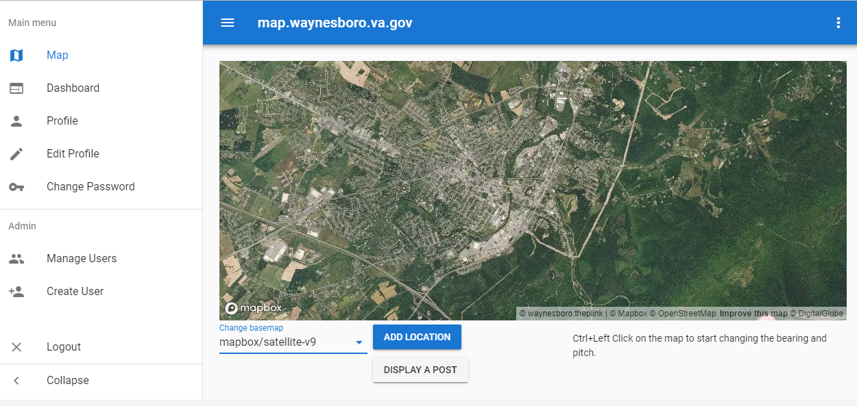
“theplink” is an app template for Waynesboro which exhibits further development and future collaboration. “theplink” refers to the missing link between Planning, Projects and People, as well as Personal & Public Values. It is collaboratively developed in one place based on shared interests and designed to be openly used by many cities. One currently implemented feature is an interactive map display that allows users to switch and compare three layers of information:
- The official city planning layer with objectively measured data from Waynesboro
- The Social Media layer, showing what is currently spatially communicated on global public data streams
- The community participation layer which is currently under focus development that allows citizens to complement perspectives through their own comments, pictures uploads and spatial interactions
The first application of this prototype template is currently accessible at waynesboro.theplink.org.
Initially, the project team needed three inputs for “Mapping the Geospatial Image of Waynesboro.” Firstly, the “outside image,” which is on global Social Media sites. Secondly, the “inside image,” as it represents the locals’ view of Waynesboro. Finally, the “local planners’ perspectives,” which incorporates the perceptions of both locals and visitors to Waynesboro. The final phase of this MainStreet21 project is to bring together these three objectives in a single app template.
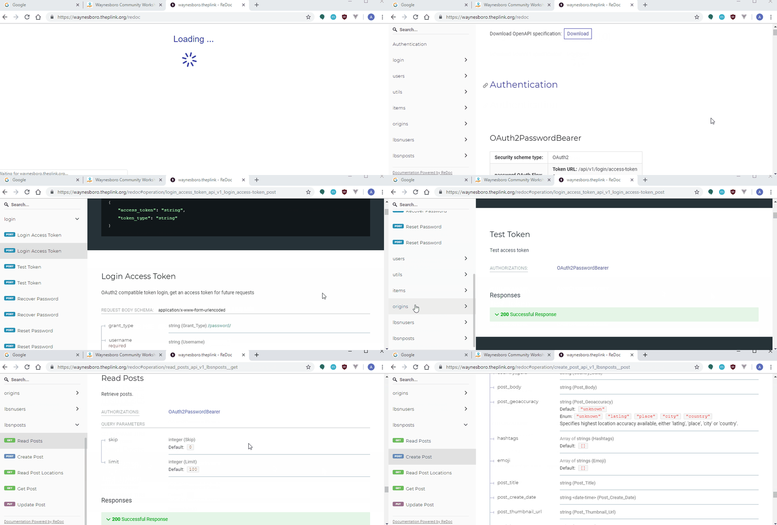
The App integrates several components, including a “City API”.

We integrated already several prototype functions integrated, including a multi-layer tile map.

The anticipated launch date is planned for June 2020, when “theplink” app template will begin engaging with both the local population, and the City Planning Commission, to collect feedback. All parties interested may gain provisional access to the staging app, found at stag.waynesboro.theplink.org, by getting in contact with the project team.
This blog post first appeared on mainstreet21.org
